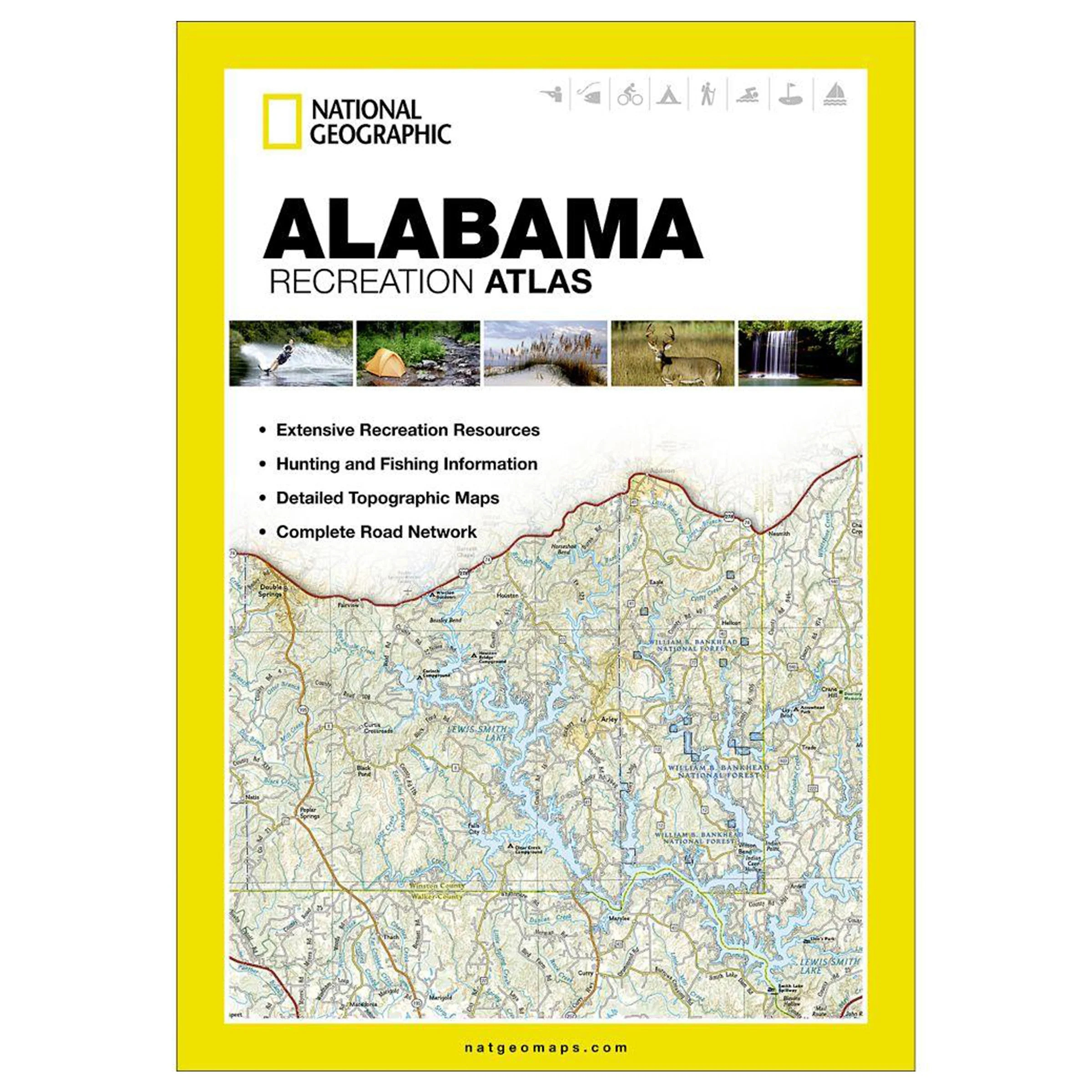
National Geographic’s Alabama Recreation Atlas is an ideal resource for any recreation activity from hunting and fishing to camping. golfing. hiking. and more. This durable. easy-to-use atlas includes up-to-date topographic maps. a comprehensive road network. informative recreation guides. and a detailed index. All road types are clearly identified. making each atlas a useful planning tool for motorcycle and off-road adventures. Maps include bold boundaries for parks and federal lands. and clearly labeled lakes. rivers. and streams. On each map page you will find a convenient map legend. easy-to-read page numbers. a latitude and longitude grid for use with GPS. and fact-checked points-of-interest. Also included are cross-referenced charts of fishing areas with species information. game management units. campgrounds and attractions charts. state park maps and facilities. hiking. golfing. skiing and paddling destinations. climate information. and more.
• Detailed topographic maps with shaded relief for the entire state. Map scale is 1:150.000
• Each labeled feature is up-to-date and verified by satellite image
• Comprehensive. easy-to-read road network
• Boundaries for parks and federal lands
• Clearly-labeled lakes. rivers and streams
• Durable laminated cover
• Size 11×15
• Robust travel and recreation information
– Cross-referenced chart of fishing areas with species information
– Game management units
– Campgrounds and attraction charts
– State Parks maps and facilities
– Hiking. golfing. skiing and paddling destinations
– Climate information


Reviews
There are no reviews yet.